![Laura Hits Landfall as Category 4 Storm [UPDATE]](http://townsquare.media/site/152/files/2020/08/RS29941_57577204-scr1.jpg?w=980&q=75)
Laura Hits Landfall as Category 4 Storm [UPDATE]
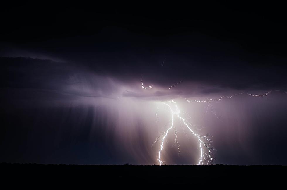
At approximately 1. a.m., Hurricane Laura made landfall near Cameron, Louisiana as a dangerous category 4 storm with maximum sustained winds. at150 mph with catastrophic storm surge.
Here's what we know so far:
- Laura was only 7 mph short of being a category 5 storm as of 9 p.m. local time.
- To better put this into context, Hurricane Katrina was a Category 3 storm when it made landfall in 2005.
- The hurricane's eyeball continues to push inland across part of Louisiana.
- Tornado watches have been issued in parts of the states until 8 a.m. today.
- More than 500,000 residents in Louisiana and Texas were ordered to evacuate.
As we prepare for the effects of Hurricane Laura, please keep in mind the following:
Keep cell phones well charged. Cell phone chargers for automobiles can be helpful, but be aware of your risk for deadly carbon monoxide poisoning if your car is left idling in a garage or other poorly ventilated area.
It is important to remain calm, informed, and focused during an emergency. Be patient and helpful with those you encounter.
Rapidly rising flood waters are deadly. If you are in a flood-prone area, consider moving to higher ground. Never drive through a flooded roadway. Remember, turn around don`t drown!
If a Tornado Warning is issued for your area, be ready to shelter quickly, preferably away from windows and in an interior room not prone to flooding. If driving, scan the roadside for quick shelter options.
More From Majic 93.3